2-3
hours
Duration
9
miles
Distance
Moderate
Difficulty
RG17 0EQ
Start Postcode
RG14 5AP
End Postcode
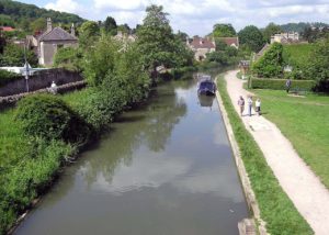
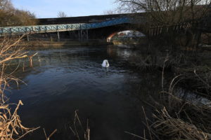
Environment
Wherever and however you paddle, our Paddlers’ Code helps to ensure we can all enjoy and share the water safely and protect our precious environment.
Don’t get sick doing what you love. We know water quality is a concern for many paddlers. Click here for some simple advice on water quality and how to protect yourself.
Get informed, stay safe and make good decisions by checking the National Storm Overflow Map
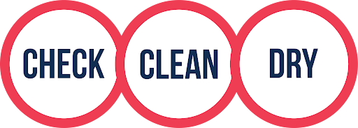
Paddlers can play a vital role in keeping our waters free of harmful non-native species. It is crucial you Check, Clean and Dry you boat and equipment to prevent the spread. Click here for more information on Invasive Non-Native Species.
For more environmental advice and guidance, see our Blue Space Blogs section on the Paddle UK website.