
New for 2022, when you take out a Paddle UK membership not only do you get a waterways license that opens up access to over 4500km of water, but you will also get a map with our top 8 paddle trails on. Spanning across the length of England, these trails take you through some of the most spectacular scenery the country has to offer.
All you need to enjoy these trails is your paddleboard, kayak, or canoe. The waterways licence and map are just a couple of many benefits you can get from this membership; head over to our website and sign up today. You can also get the map via our shop on the website.
River Stour: Cattawade to Dedham
Distance – 7.8 miles
Time – 2 – 4 hours
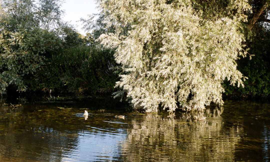
This first paddle trail, found in Essex, is suitable for kayaks, canoes, and paddleboards. Starting at the established picnic site in Cattawade, the paddle trail passes through a range of open farmland, tree canopies, and is followed by an excellent canal towpath. The diversity of this route makes it perfect for a family day out.
With the collection of surroundings come a wide assortment of wildlife that can be seen along the way. Often spotted are herons, kingfishers, moorhens, and swans. Similarly, the occasional fish can be seen leaping out of the clear waters.
The midway turning point is found at the Boathouse Café. A perfect location for coffee and cake to fuel you through the second half of the paddle trip. The café has an easy landing point, so an option here to shorten the trip and end here. On route back to the start, you can stop off at Flatford Mill, where a number of historic buildings of interest can be found. These picturesque buildings have been the subject of paintings and photography for centuries.
River Soar: Normanton on Soar to Stanford on Soar
Distance – 4.3 miles
Time – 1 – 2 hours
OS Maps Route

One of our more historic paddle trails, this one starts in the 11th century village of Normanton on Soar. Home to one of the last operational chain ferries in the country, and the only cruck building that was lived in, the village is situated in one of the most southerly points of Nottinghamshire.
On this paddle train you will enjoy the views of the village’s 13th century grade 1 listed church, cruise round the natural meanders of the River Soar, and be immersed in all the beauty the river banks have to offer. You’ll paddle your way under bridges and past all kinds of wildlife until you reach the turning point, a secluded island that is perfect for a quiet picnic before the return trip.
Perfect for all paddleboards, kayaks, and canoes, this slightly shorter paddle trail is ideal for a family trip out in Nottinghamshire. With stretches of the trail only accessible by water, you will have the opportunity to see sights not many get to see on a mini adventure.
River Hamble: Hampshire
Distance – 10 miles
Time – 2 – 4 hours

Our first tidal paddle trail on this list, the river Hamble is a longer trail that is full of magnificent sights, points of interest from the river’s military past. From the remains of King Henry V’s warship HMS Grace Dieu, to water observation towers remaining from World War 1, this paddle trail is one for history enthusiasts.
Starting from the slipway in Swanwick you paddle past a number of old timely inns before hitting any tidal currents. It is worth checking the tide times to make this paddle easier on yourself.
Passing through a tranquil country park, you will reach Spinsters Lake. Here the river forks. With one way leading to the Horse and Jockey Pub where you can refuel and gently paddle back round to the start. However, the other way takes you downstream to a decommissioned 1960s Sea Scout school and the old World World War 1 battleship observation tower. This wartime landmark that gives you a chance to extend your paddle before turning back towards the starting point.
River Thames: Hampton Court to Richmond
Distance – 7.8 miles
Time – 2 – 4 hours
OS Maps Route
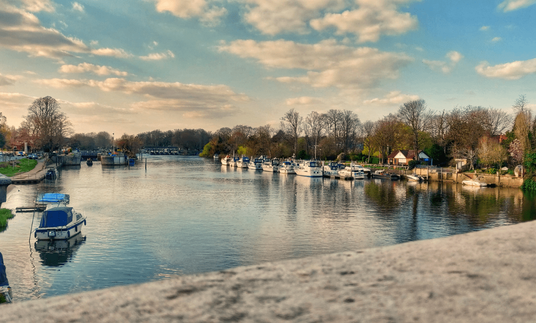
The perfect combination of both rural and urban paddling. Taking in the views of Hampton Court Palace’s grounds, Hampton Bridge, and other historically interesting builds. At times you will be paddling down the Thames with rural palace gardens on your left and London suburbia on your right, a contrast that to many is beautiful.
This paddle trail also provides a multitude of islands to feast your eyes on, many home to the historical builds on this route. One of the historical entities to see on your trip is the world’s oldest canoe club. Formed in 1866, the Royal Canoe Club is accredited with the title of world’s oldest club. You will also be able to take in the sights of the Pope’s villa, an imposing red building where the original poet’s mansion was built, and houses his famous Grotto which is open to the public too.
Being a linear paddle trail, the get out point is found in the Twickenham district, so a car shuttle would be needed. Alternatively, there are brilliant public transport links to get you back to the starting point.
Ullswater Lake – Norfolk Island
Distance – 3 miles
Time – 1 – 2 hours

This is one of our most flexible paddle trails, based on one of the biggest lakes in the Lake District. Overlooked by the mountain Helvellyn, Ullswater is rich with views and endless paddle routes. The lake spans for 7 miles with multiple islands dotted around.
The gentle paddle around Norfolk island takes in the views from the unique vantage point of the lake. Smaller islands on the route give you chance to stretch your legs and explore on land. The halfway point of the paddle is the island of Norfolk, perfect for a picnic and refreshing drink.
From here you can hop back on your paddleboard, kayak, or canoe and head back to the starting point. However, you can extend your paddle and continue up the lake and take in more of the spectacular views of the Lake District.
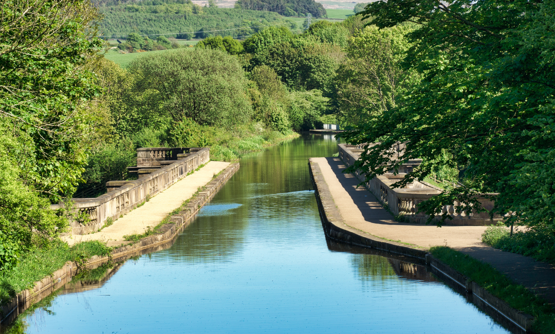
Peak Forest Canal: Bugsworth Basin to New Mills Marina
Distance – 5 miles
Time – 1.5 – 2.5 hours
OS Maps Route

A paddling trail for those with a sweet tooth, as the canal paddle trail passes past through an area with the sweet smell of Parma Violets in the air. This 1800’s canal was restored and reopened for use in 2005. And on a clear day gives spectacular views of the Pennines and the Kinder Scout plateau.
The start and finish of this trail is just next to the Café Kirianna, taking you to the peaceful canal system. Taking the right turning at the first T-junction will lead you under a couple of low bridges and through Furnace Vale Marina. On the other side of the marina you will paddle past the beautiful mills and town of New Mills. Across the valley you will be able to spot the viaduct.
The marina in New Mills marks your turning point, where you begin the journey back to the café. From here, be careful in this area as you may see giant hogweed, known for causing skin irritation and burns. Dodge the hogweed and you have yourself an amazing paddle with amazing sights and smells.
Lancaster Canal: Lune Aqueduct to Galgate
Distance – 6.25 miles
Time – 2 – 3 hours
Mixing urban and rural paddling, this paddling trail takes you through the heart of Lancaster before out into the fields that surround the city. Just upstream of the start point of this paddle trail is a large aqueduct that crosses over the River Lune. The aqueduct is a great view point to check out before you get going on your paddle. This whole trail is also followed by a well surfaced canal towpath, meaning all the family can join the adventure even off the water.
As you paddle through Lancaster you will see remnants of its industrial past, as well as some notable architecture. Within the first few kilometres you will see the spire of St Peter’s church and bridges with special significance. Bridge 100 on the canal takes the towpath from the right to the left of the canal, designed in such a way that the horses did not need to be unhitched, saving time and effort.
You will also notice a number of canal side pubs dotted along the route. The ever popular Water Witch marks the start of the more rural leg of the paddle trail. Through the open fields you will have the opportunity to see a whole range of wildlife, from kingfishers to oystercatchers. These rolling fields stay with you up until your finish point at Galgate Marine, usually busy with boats.
Bridgwater and Taunton Canal- Maunsel Lock to Creech St Michael
Distance – 8 miles
Time – 2.5 – 4 hours
Paddleboard, kayak, and canoe along one of England’s best kept secrets, the Bridgewater and Taunton Canal. Opened in 1827, the canal links the River Tone and Parrett. Beautifully maintained by a group of volunteer wardens, the idyllic waterway and towpath are a thing of real beauty. Despite being cut off from the rest of the canal system, fascinating lock structures and peaceful surroundings make this a unique paddle trail.
The village of Durston is just over a mile down the canal. Firstly, you will have to navigate your way under the Headworthy and Swans Neck bridges. From here you reach the historic village of Creech St Michael, originating in the 12th century.
The canal is definitely the more picturesque way to see the village. The remains of the old Chard Canal and ruined aqueduct can be seen from the canal. The village also has good amenities to refuel. From there, turn back and begin the journey back along the canal to the starting point.

 Paddle UK
 Go Paddling
 Clear Access Clear Waters
 Services Login

